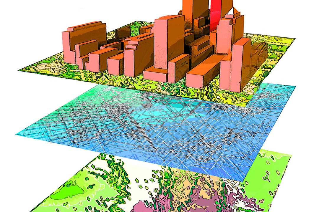
The centralization and management of environmental data is crucial for sharing information about a project, region, or event. The spatial scale may be local or global. The content may exist in many forms, including physical documents, laboratory data, asset locations, or modeling results. The information may be highly dynamic, as with real-time data feeds, or relatively static, such as historical information. The data may be intended for foundational planning, required for guiding procedures and work flows, assisting with decisions, or displaying results.
We, at EnviGeospatial understands the collection, processing, analysis, interpretation, and management of large environmental data sets involving nearshore, offshore, and deepwater marine settings over a range of spatial and temporal scales. We also understand our clients’ needs to communicate information within secure, private groups, as well as with a broader audience of regulators, the public, and the media.
Whatever the type, purpose, source, volume, or location, we provide solutions for centralizing, accessing, visualizing, and sharing environmental data and information as consumable web- based map services. These services provide a foundation for secure communication and knowledge transfer throughout the life span of a project or development